Reduced Survey Map of The Lothians & Fife with Adjacent Counties by John Bartholomew - ca. 1891
Reduced Survey Map of The Lothians & Fife with Adjacent CountiesColoured to Show the New Parish and County Boundaries as Settled by the Scottish Boundary Commissions 1891Linen backed in 7 x 5 panelsOverall dimensions of the map - 45\" x 36\"Fine condition. by John Bartholomew - ca. 1891
£50.00
Similar Deals

NASA Thermal Socks (pair)
£6.99
From Easylife Group

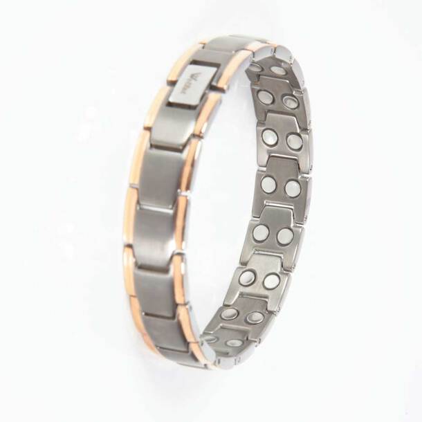
Titanium Magnetic Bracelet
£19.99
From Easylife Group

Copper Magnetic Bracelet
£29.99
From Easylife Group

Pure Copper Bracelet - Copper
£9.99
From Easylife Group

Fashion Reader Glasses ( set of 4) 2.5X
£12.99
From Easylife Group

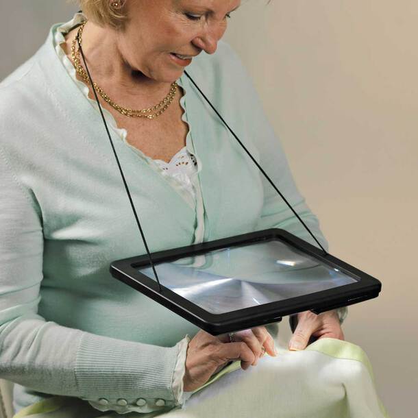
Hands Free Magnifier With Light
£12.99
From Easylife Group

Posture Corrector - L
£14.99
From Easylife Group

Adjustable Lumbar Back Support - S/M
£14.99
From Easylife Group


