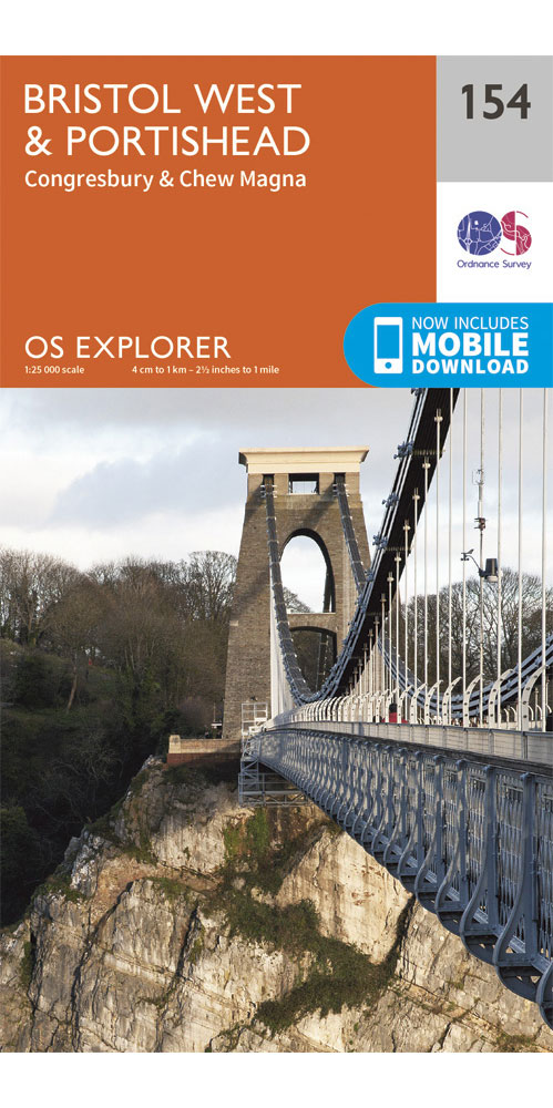
Ordnance Survey Bristol West & Portishead - OS explorer 154 Map
Covering Bristol West & Portishead on a 1:25,000 scale however remote the terrain, this Ordnance Survey explorer map will give you the accurate, detailed information you need to navigate the area safely. Rights of way, fences, permissive paths and bridleways are clearly shown, ensuring you have the best information to get the most out of your time in the countryside. These are the map of choice for many walkers, climbers, off-road cyclists, horse riders and anyone involved in outdoor activities.
£8.99
Similar Deals

ADMIRALTY Leisure Folio SC 5603 - Falmouth To Hartland Point
£44.30
From Stanfords

The Nickel Boys
£16.99
From Stanfords

Harlem Shuffle - from the author of `The Underground Railroad`
£16.99
From Stanfords

Silk Road Adventure - On Horseback in the Heart of ...
£25.00
From Stanfords

Sherlock Holmes`s London
£17.99
From Stanfords

Criminal River
£17.99
From Stanfords

British Railway Atlas, 1955
£14.99
From Stanfords

Atlas of Train Operating Companies
£14.99
From Stanfords

