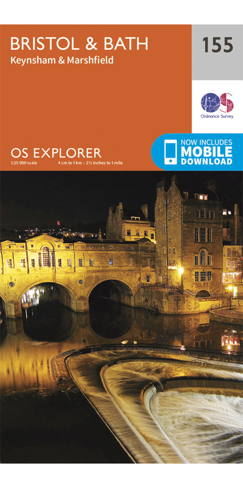
Ordnance Survey Bristol & Bath - OS explorer 155 Map
Covering Bristol & Bath on a 1:25,000 scale however remote the terrain, this Ordnance Survey explorer map will give you the accurate, detailed information you need to navigate the area safely. Rights of way, fences, permissive paths and bridleways are clearly shown, ensuring you have the best information to get the most out of your time in the countryside. These are the map of choice for many walkers, climbers, off-road cyclists, horse riders and anyone involved in outdoor activities.
£8.99
Similar Deals

ADMIRALTY Leisure Folio SC 5615 - East Coast, Whitby to Edinburgh
£44.30
From Stanfords

The Fourth Shore 03/20
£8.99
From Stanfords

Silk Road Adventure - On Horseback in the Heart of ...
£25.00
From Stanfords

Hardy`s Landscape Revisited
£25.00
From Stanfords

A Patch Made in Heaven
£12.99
From Stanfords

Ethiopia Photographed
£55.00
From Stanfords

European Football Grounds - A Fan`s Guide
£14.99
From Stanfords

Railway Atlas Then and Now
£19.99
From Stanfords

