CRAENEN \'TOP 25\' Series: 2106 ET Le Crotoy/Fort-Mahon-Plag
IGN \'Top 25\' series maps are the equivalent scale to the UK\'s Ordnance Survey\'s Explorer range, and cover areas of particular tourist interest including the Alps, Pyrenees, Cevannes, Vosges, Provence, Atlantic and Mediterranean coasts. The IGN Top 25 Maps feature contours at 5m (10m in mountainous areas with additional hill shading), highlights of local footpaths, long-distance GR routes and, where appropriate, ski routes. Other tourist information includes campsites, equestrian and canoeing centres, huts, mountain refuges, historic and notable sites, etc. Coverage: Quend, Fort-Mahon-Plage, Rue, le Crotoy, Campagne-les-Hesdin, Crecy-en-PonthieuScale 1/25,000 ISBN 3282113841030 GPS compatible Weight: 0.095kg 11cm x 24cm Map legend in French and English Each TOP25 map covers an area of approximately 28km x 21km (17 x 13 miles)
£2.00
Similar Deals

Reconditioned Alpha Stim AID
£499.00
From Tower Health

Paingone Pen
£29.95
From Tower Health

Luxis Insoles
£14.95
From Tower Health

Pelham and Strutt - Men’s Vest
£39.95
From Tower Health

Pelham and Strutt Sport - Men’s Compression T-Shirt
£39.95
From Tower Health

Staydry Everyday Underwear-Gent\'S-White Plain
£29.97
From Easylife Group
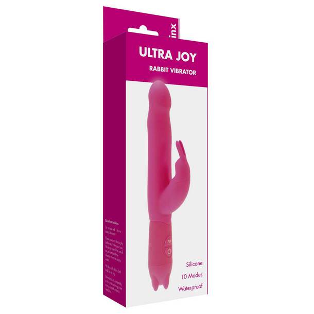
Ultra Joy
£19.99
From Easylife Group
Save 36%

Lace Incontinence Briefs (Pack of 3) - Coffee
£38.97
£24.99
From Easylife Group

