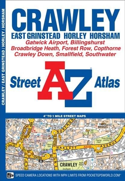
Crawley A-Z Street Atlas
This A-Z map of Crawley is a full colour street atlas featuring 34 pages of street mapping to include: *East Grinstead *Forest Row *Horley *London Gatwick Airport *Horsham *Southwater *Billingshurst Postcode districts, one-way streets, safety camera locations with their maximum speed limit and park and ride sites are featured on the mapping. The index section lists streets, selected flats, walkways and places of interest, place, area and station names, hospitals and hospices covered by this atlas. A road map of the atlas area is featured on the outside back cover.
£4.95
Similar Deals
Save 22%

Kiss, Bow, Or Shake Hands
£16.99
£13.35
From Wordery
Save 44%

Confident Parents, Confident Kids
£19.99
£11.20
From Wordery
Save 25%

The Way of Tarot
£26.00
£19.74
From Wordery
Save 32%

William Shakespeare\'s Star Wars Trilogy: The Royal Imperial Boxed ...
£38.00
£26.22
From Wordery

The Mata Book
£59.99
From Wordery
Save 4%

Knock Knock This Week Pad
£6.95
£6.71
From Wordery
Save 10%
Concrete - Case Studies in Conservation Practice
£45.59
£41.22
From Wordery

Farming for the Long Haul
£15.99
From Wordery

