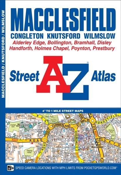
Macclesfield A-Z Street Atlas
This A-Z map of Macclesfield is a full colour street atlas featuring 43 pages of mapping to include: *Manchester Airport *Knutsford *Wilmslow *Alderley Edge *Bramhall *High Lane *Disley *New Mills (part) *Bollington *Gawsworth (inset) *Holmes Chapel *Congleton Postcode districts, one-way streets, safety camera locations with their maximum speed and National Park boundaries are also featured on the mapping. The index section lists streets, selected flats, walkways and places of interest, place, area and station names, hospitals and hospices covered by this atlas.
£4.95
Similar Deals
Save 23%

The Ultimate Guide to Witchcraft: Volume 7
£16.99
£13.20
From Wordery
Save 4%

Super Low-Carb Snacks
£14.99
£14.41
From Wordery
Save 23%

Martin Parr
£30.00
£23.33
From Wordery
Save 11%

Do Hard Things
£13.99
£12.57
From Wordery
Save 20%

Circular Knitting Workshop
£16.99
£13.69
From Wordery
Save 13%

Cows Save the Planet
£13.99
£12.18
From Wordery
Save 7%

Tapestry Garden: The Art of Weaving Plants and Place
£25.00
£23.33
From Wordery
Save 20%

Mitochondria and the Future of Medicine
£18.99
£15.29
From Wordery

