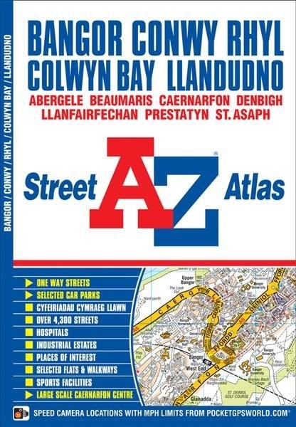
Bangor & Conwy Street Atlas
This atlas contains 37 pages of coloured street mapping that cosists of separate coverages of: *Bangor, Beaumaris (Biwmares), Menai Bridge (Porthaethwy) and Llanfair Pwllgwyngyll. Llanfairfechan, Penmaenmawr and Dwygyfylchi. Conwy, Llandudno, Penrhyn Bay (Bae Penrhyn), Colwyn Bay (Bae Colwyn), Abergele, Kinmel Bay (Bae Cinmel), Rhyl (Y Rhyl), Prestatyn, Rhuddlan, Dyserth, Bodelwyddan and St. Asaph (Llan-Elwy). Denbigh (Dinbych). Caernarfon including a large scale town centre plan. Postcode districts, one-way streets and safety camera locations with their maximum speed limit are featured on the street mapping. The index section of the atlas lists streets and selected flats, walkways and places of interest, place and area names, hospitals and hospices covered by this atlas.
£4.95
Similar Deals
Save 19%

Keto: A Woman\'s Guide and Cookbook: Volume 13
£17.99
£14.64
From Wordery
Save 23%
The Ultimate Guide to Witchcraft: Volume 7
£16.99
£13.20
From Wordery
Save 25%

The Living Well Without Lectins Cookbook
£18.99
£14.39
From Wordery
Save 18%

Driven
£14.99
£12.38
From Wordery

Theories of Childhood, Second Edition
£26.50
From Wordery
Save 7%

Tapestry Garden: The Art of Weaving Plants and Place
£25.00
£23.33
From Wordery
Save 8%

Neuroscience
£49.99
£46.15
From Wordery
Save 28%

Foraged Flora
£30.00
£21.64
From Wordery

