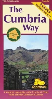
The Cumbria Way
The waterproof Footprint map-guide to the Cumbria Way - the 73 mile (117km) route between Ulverstone and Carlisle. It generally follows well maintained paths and tracks through some of the Lake District\'s finest scenery. This Footprint map is divided into 5 sections each portrayed on a separate panel. It is marked in miles, starting in Ulversyon. Text describing the route accompanies each section. 1:40,000; waterproof; GPS compatible; based on Ordnance Survey data.
£9.50
Similar Deals
Save 23%
The Ultimate Guide to Witchcraft: Volume 7
£16.99
£13.20
From Wordery

The Mata Book
£59.99
From Wordery
Save 18%
Stress-Less Leadership
£14.99
£12.36
From Wordery
Save 11%

Do Hard Things
£13.99
£12.57
From Wordery
Save 14%

The Minimalist Home: A Room-By-Room Guide to a Decluttered, Refocused ...
£17.99
£15.61
From Wordery
Save 16%

Rosemary Gladstar\'s Herbal Recipes for Vibrant Health
£11.99
£10.17
From Wordery
Save 8%
Neuroscience
£49.99
£46.15
From Wordery
Save 28%

Foraged Flora
£30.00
£21.64
From Wordery

