North Cumbria & Dumfries Cycle Map 35
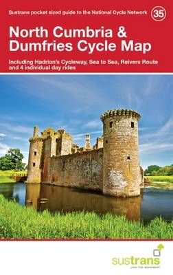
This is in the series of official pocket sized, folded maps to the National Cycle Network which include clearly mapped on-road and traffic-free paths, easy to read contours and detailed town insets. The series is published by Sustrans. 1:110,000 scale; folded 155mm x 99mm; flat 792mm x 630mm.North Cumbria & Dumfries Cycle Map 35. Including Hadrian\'s Cycleway, Sea to Sea, Reivers Route and 4 individual day rides.
£5.99
Similar Deals
Save 44%

Confident Parents, Confident Kids
£19.99
£11.20
From Wordery
Save 21%

Vegan Yack Attack\'s Plant-Based Meal Prep
£16.99
£13.59
From Wordery
Save 25%

The Living Well Without Lectins Cookbook
£18.99
£14.39
From Wordery
Save 23%

Martin Parr
£30.00
£23.33
From Wordery
Save 18%

Driven
£14.99
£12.38
From Wordery
Save 1%

Knock Knock Money, Money, Money Receipt Catcher
£10.96
£10.94
From Wordery
Save 6%

Tripping over the Truth
£13.99
£13.28
From Wordery
Save 6%

Artisan Cheese Making at Home
£22.50
£21.30
From Wordery

