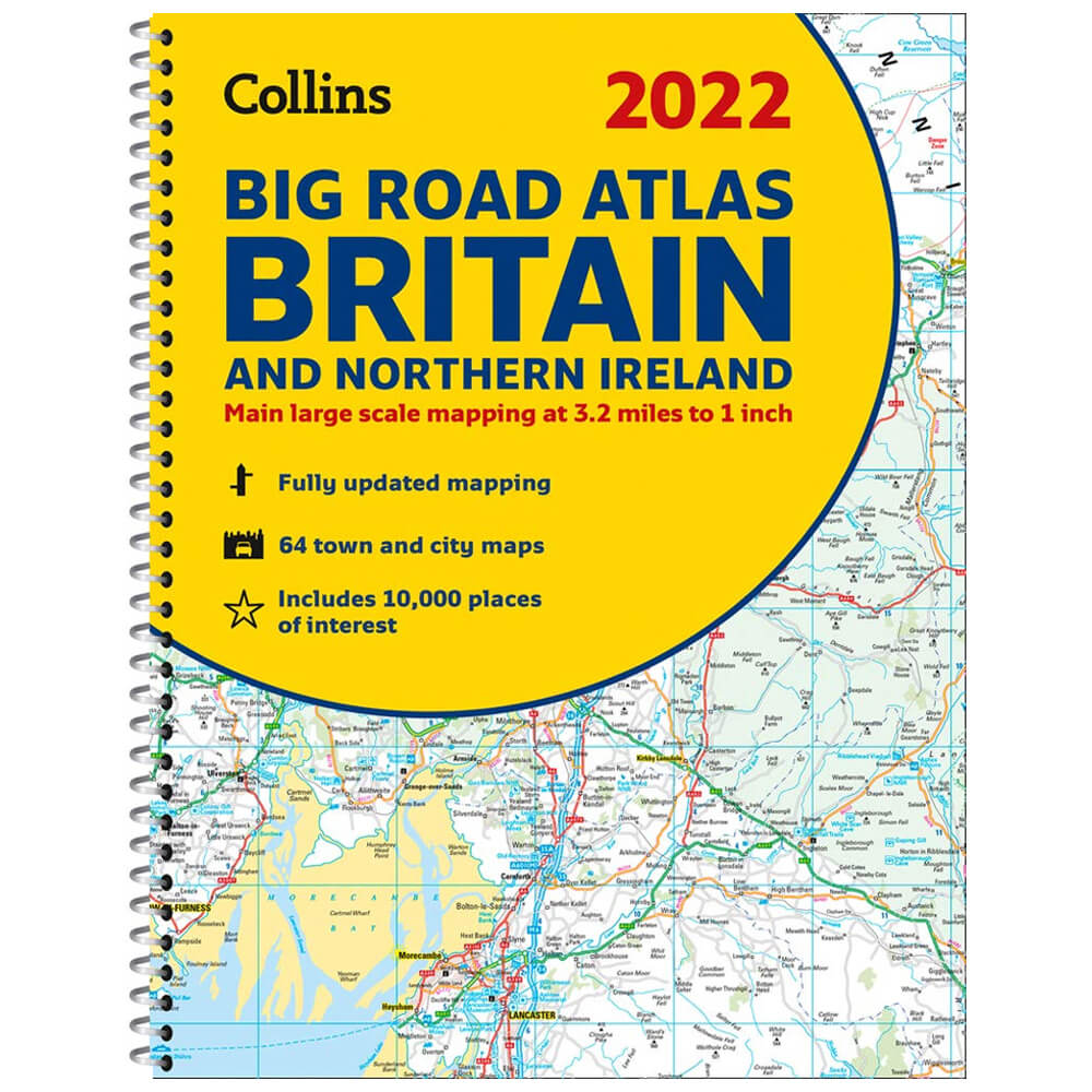
2022 Collins Big Road Atlas Britain
An accurate and fully updated atlas, perfect for road trips around Britain and Northern Ireland. The ultimate 3.2 miles to 1 inch scale road atlas of Britain with popular lie-flat spiral binding, featuring Collins’ popular and well established road mapping, and designed for exceptional clarity and ease of use. This fully updated road atlas covers the whole of Britain with each scale of mapping colour-coded for ease of use. The smallest scale maps are great for long distance route planning and the street plans help you locate your final destination. Main features: • Route planning section for long distance route planning, motorway services information and a handy distance calculator. • 22 urban area approach maps which clearly show the best routes through and into the busiest built-up areas. • 64 street maps focused on town centres showing places of interest, car park locations and one-way streets. • Park & Ride locations shown, ideal when visiting towns and cities. • Places of interest including castles, theme parks, sports venues, universities, mountain bike trails and surfing beaches and their full postcodes. Product Information: • ISBN: 9780008447793 • Author: Collins Maps • Publisher: Collins • Format: Spiral Bound • Pages: 176 • Dimensions: 38.51 x 29.49 x 1.27 cm
£10.00

Similar Deals

Starting School
£6.99
From Stanfords

butterfly migration jigsaw
£13.99
From Stanfords

Portobello Road 1000 Piece Puzzle
£14.99
From Stanfords

Map of the World Jigsaw
£9.99
From Stanfords

Who Am I?: A Peek-Through-Pages Book of Endangered Animals
£12.99
From Stanfords

National Geographic Kids Readers: Penguins (National Geographic Kids Readers: Level 2)
£3.99
From Stanfords

Name That Movie: 100 Illustrated Movie Puzzles
£10.99
From Stanfords

Tiny Planetarium: See the stars!
£9.99
From Stanfords