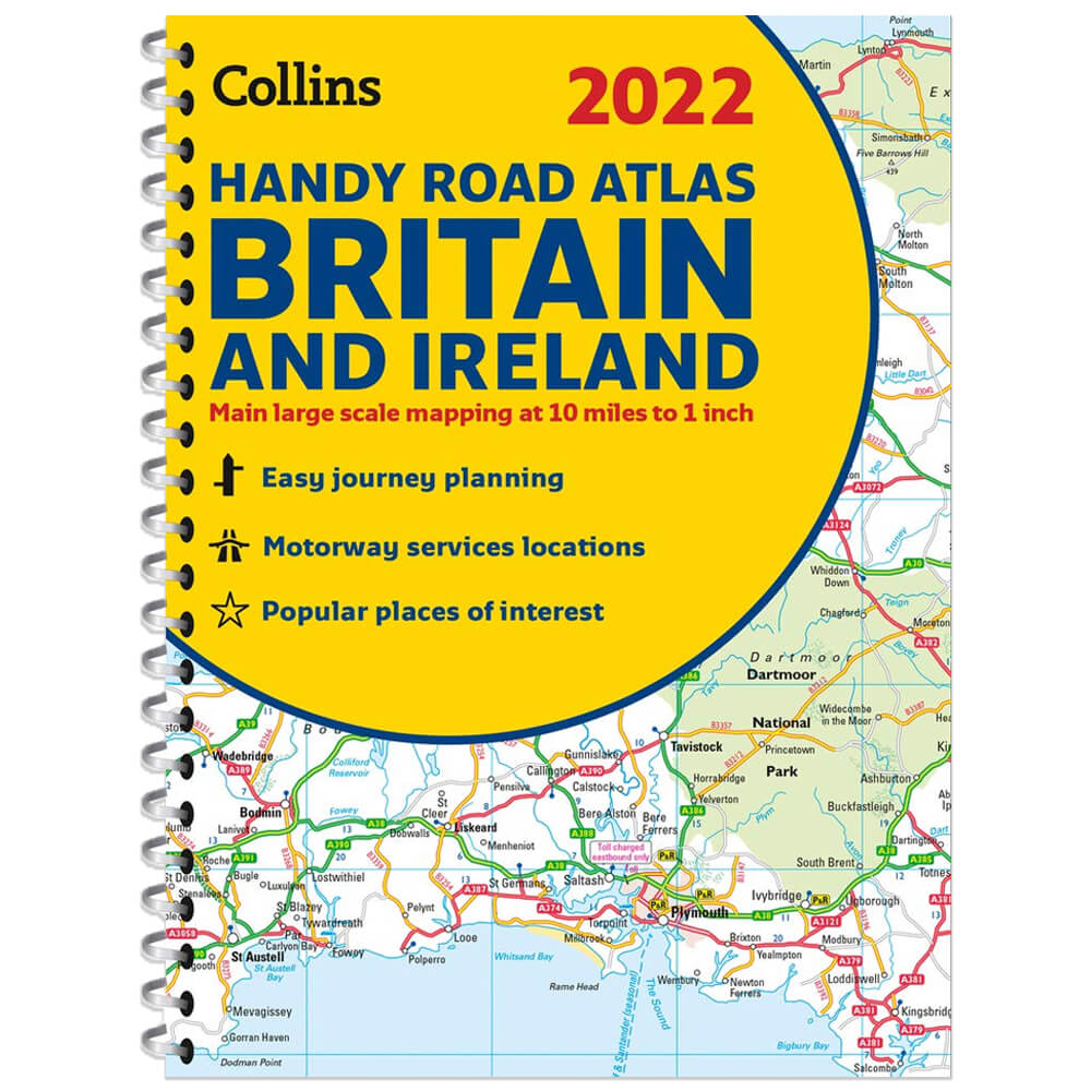
2022 Collins Handy Road Atlas Britain
A handy road atlas to keep in your glove box. This easy-to-use, handy A5 sized road atlas with popular lie-flat spiral binding features extremely clear route planning maps of Britain and Ireland and fits neatly into your glove box, briefcase or bag. The atlas has been fully updated. The maps of Britain are at 9.9 miles to 1 inch (1:625,000) and the whole of Ireland is covered at 15.8 miles to 1 inch (1:1,000,000). There are also a selection of more detailed urban area maps at 4.5 miles to 1 inch (1:285,000) to aid route planning in these busy areas. Main features: • Road maps that focus on the main roads, motorways and settlements. • More detailed maps of London, Manchester, Merseyside and West Midlands. • Park & Ride locations (for bus and rail). • Handy distance calculator chart highlighting distances between the major towns. Product Information: • ISBN: 9780008447830 • Author: Collins Maps • Publisher: Collins • Format: Spiral Bound • Pages: 80 • Dimensions: 21.01 x 15.39 x 1.02 cm
£3.00
Similar Deals

Portobello Road 1000 Piece Puzzle
£14.99
From Stanfords

The Ordnance Survey Puzzle Book: Pit your wits against Britain` ...
£14.99
From Stanfords

First Sticker Book - Christmas Market
£4.99
From Stanfords

Who Am I?: A Peek-Through-Pages Book of Endangered Animals
£12.99
From Stanfords

National Geographic Kids Readers: Penguins (National Geographic Kids Readers: Level 2)
£3.99
From Stanfords

The Story of Roman Bath
£9.99
From Stanfords

What in the World Am I?
£6.50
From Stanfords

A Flight of Birds Knowledge Cards
£7.99
From Stanfords

