Ordnance Survey OL 19 Explorer Howgill Fells and Upper Eden Valley Active Map, Orange
Map sheet number OL19 in the OS Explorer series covers Appleby-in-Westmorland, the Howgill Fells, Sedbergh, Upper Eden Valley and Kirkby Stephen. Highlights of the area include: Yorkshire Dales National park, North Pennines, Pennine Way, River Eden, Great Shunner Fell and Hardraw.FeaturesDetailed and easy to read map from Ordnance SurveyScale: 1:25,000Shows tourist information points, popular sites, viewpoints, places of interest and rights of way informationActive weatherproof version
£15.00 £9.00
Similar Deals

iTouch Sure Pelvic Floor Exerciser
£49.95
From Tower Health

Posture Medic + Free Fisiocrem 60ml
£29.95
From Tower Health

Orthoshock Heel Insoles
£14.95
From Tower Health

Luxis Insoles
£14.95
From Tower Health

Warming Copper Wrist Brace
£9.95
From Tower Health

Staydry Everyday Underwear-Ladies\'-White Plain-L
£9.99
From Easylife Group

High Strength Apple Cider Vinegar (60 Capsules)
£9.99
From Easylife Group

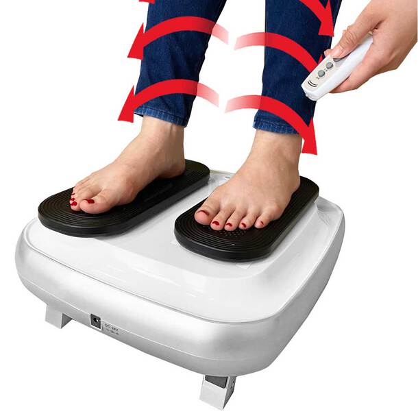
Deluxe Passive Leg Exerciser
£99.99
From Easylife Group


