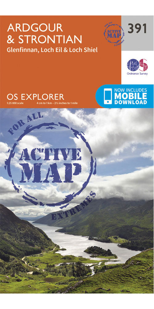
Ordnance Survey Ardgour & Strontian - OS explorer Active 391 Map
Covering Ardgour & Strontian on a 1:25,000 scale this OS explorer Active map is tough, durable and weatherproof. It is covered in a protective plastic coating that offers protection from the elements and can be written on, so your favourite routes can be easily highlighted. Lightweight and compact, it won\'t weigh you down on the trail. Rights of way, fences, permissive paths and bridleways are clearly shown, ensuring you have the best information to get the most out of your time in the countryside.
£15.99
Similar Deals

ADMIRALTY Leisure Folio SC 5604 - Channel Islands
£44.30
From Stanfords

ADMIRALTY Leisure Folio SC 5614 - East Coast, Orford Ness to ...
£44.30
From Stanfords

ADMIRALTY Leisure Folio SC 5610 - Firth of Clyde
£44.30
From Stanfords

National Trust Handbook 2017
£9.99
From Stanfords

Stubborn Archivist
£8.99
From Stanfords

The Nickel Boys: Winner of the Pulitzer Prize for Fiction 2020
£8.99
From Stanfords

Ethiopia Photographed
£55.00
From Stanfords

Jane`s Fighting Ships: 2019-2020
£1200.00
From Stanfords

