
09 Larne 1:50000 Map
Ordnance Survey Northern Ireland 1:50000 - Map 09: Larne & Ballymena Ordnance Survey Northern Ireland Discoverer paper map series are detailed topographic maps at 1:50,000 with waymarked hiking trails, Sustrans National Cycle Network and other tourist information. The Discoverer series will be of particular interest to anyone walking, cycling or motoring in any of these areas and keen to enjoy the beauty of the countyside. Features: Ordnance Survey Northern Ireland Discoverer paper map series Sheet No 9 of 18 - Covers Larne & Ballymena and includes Broughshane, Carnlough and Glenarm 1:50,000 scale multipurpose paper mapping Full colour digitally compiled map covers an area of 40 x 30km (25 x 19 miles approximately) and has a 1km Irish Grid, plus latitude and longitude margin ticks at 1\' intervals. Contours at 10m intervals, with plenty of spot heights and altitude colouring above 150m. Graphics indicate different types of woodlands. In coastal areas the maps show high and low water mark, cliffs, mud/shingle or sand, etc. Road network grades minor roads according to their widths, includes local tracks and shows gradients on steep routes. Railways are shown with stations and the maps. An overprint highlights waymarked walking trails as well as cycle routes of the Sustrans National Cycle Network. Boundaries of National Trust land are marked, indicating areas with limited opening. Places of interest are prominently highlighted and a range of symbols provide other tourist information including camping or caravan sites and youth hostels, bus stations, parking, picnic areas, viewpoints, gold courses, etc. Map legend is English, French and German. On the reverse each sheet has an indexed monochrome map showing townland boundaries. Versions: Folded map Laminated map Discoverer Series - The Discoverer series is the most detailed small-scale map series that gives full coverage of Northern Ireland: 18 full colour paper maps (flat or folded) at a scale of 1:50,000. Townland maps for the area are included on the reverse of each sheet. It will be of particular interest to anyone walking, cycling or motoring and keen to enjoy the beauty of the countrside. Each map covers an area of 40 km by 30 km. These large-format maps are ideal for planning and referencing, and walkers, cyclists and horse riders will find the public rights-of-way information invaluable as they show roads, footpaths, woods, water features, important buildings, historical features and height.
£8.99
Similar Deals

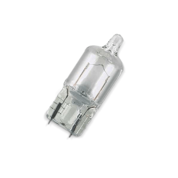
BOSCH Light Bulbs VW,AUDI,MERCEDES-BENZ 1 987 302 075 Bulb, spotlight
£7.13
From AUTODOC
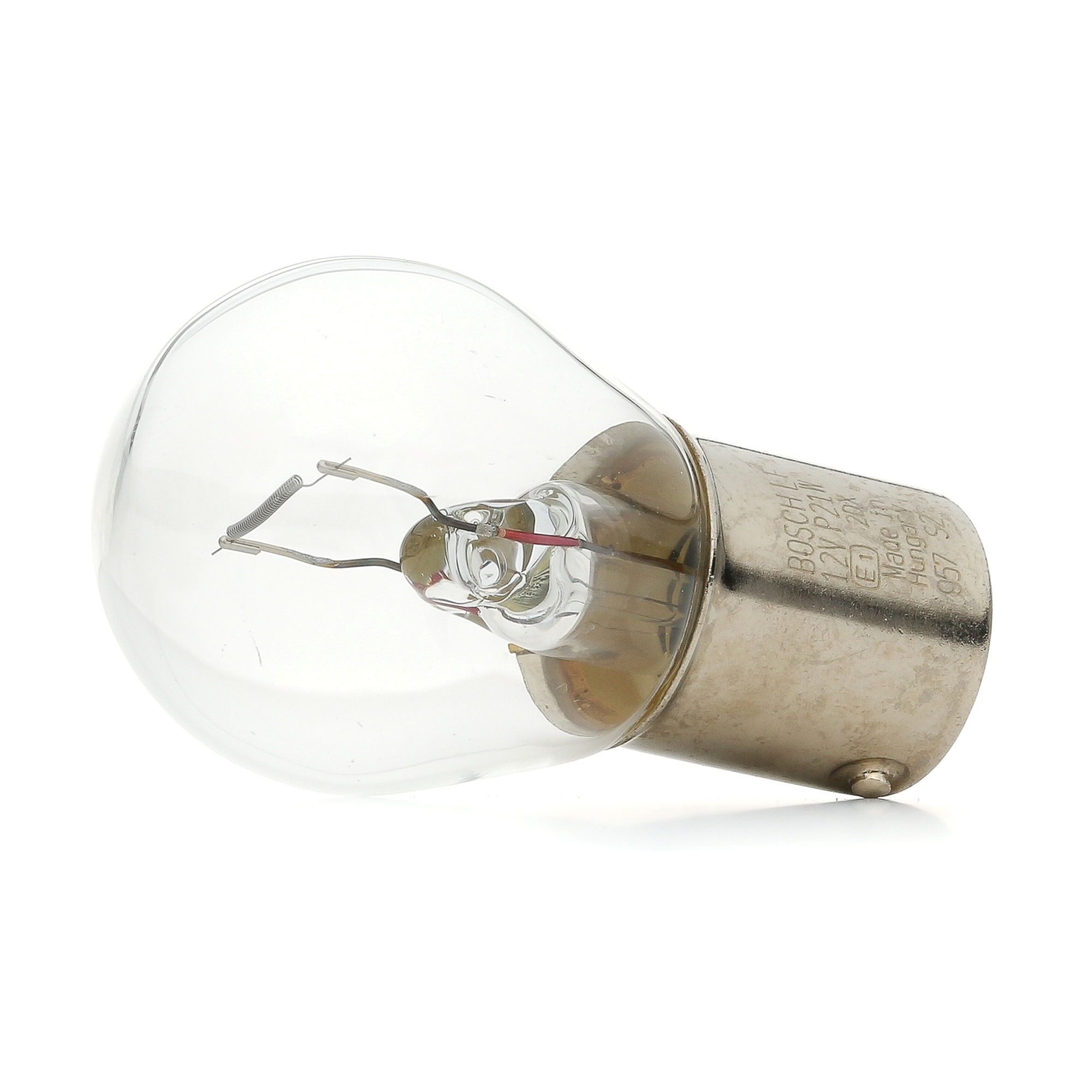
BOSCH Light Bulbs VW,AUDI,MERCEDES-BENZ 1 987 302 201 Bulb, indicator
£0.63
From AUTODOC
BOSCH Light Bulbs VW,AUDI,MERCEDES-BENZ 1 987 302 281 Bulb, licence plate light
£1.51
From AUTODOC
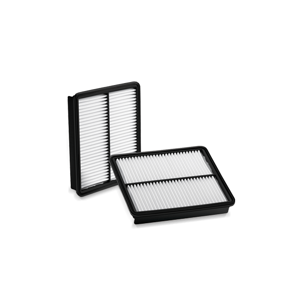
BOSCH Air filter HONDA 1 987 429 191 17220PWA003,17220PWC000,17220PWC505HE Engine air ...
£9.14
From AUTODOC
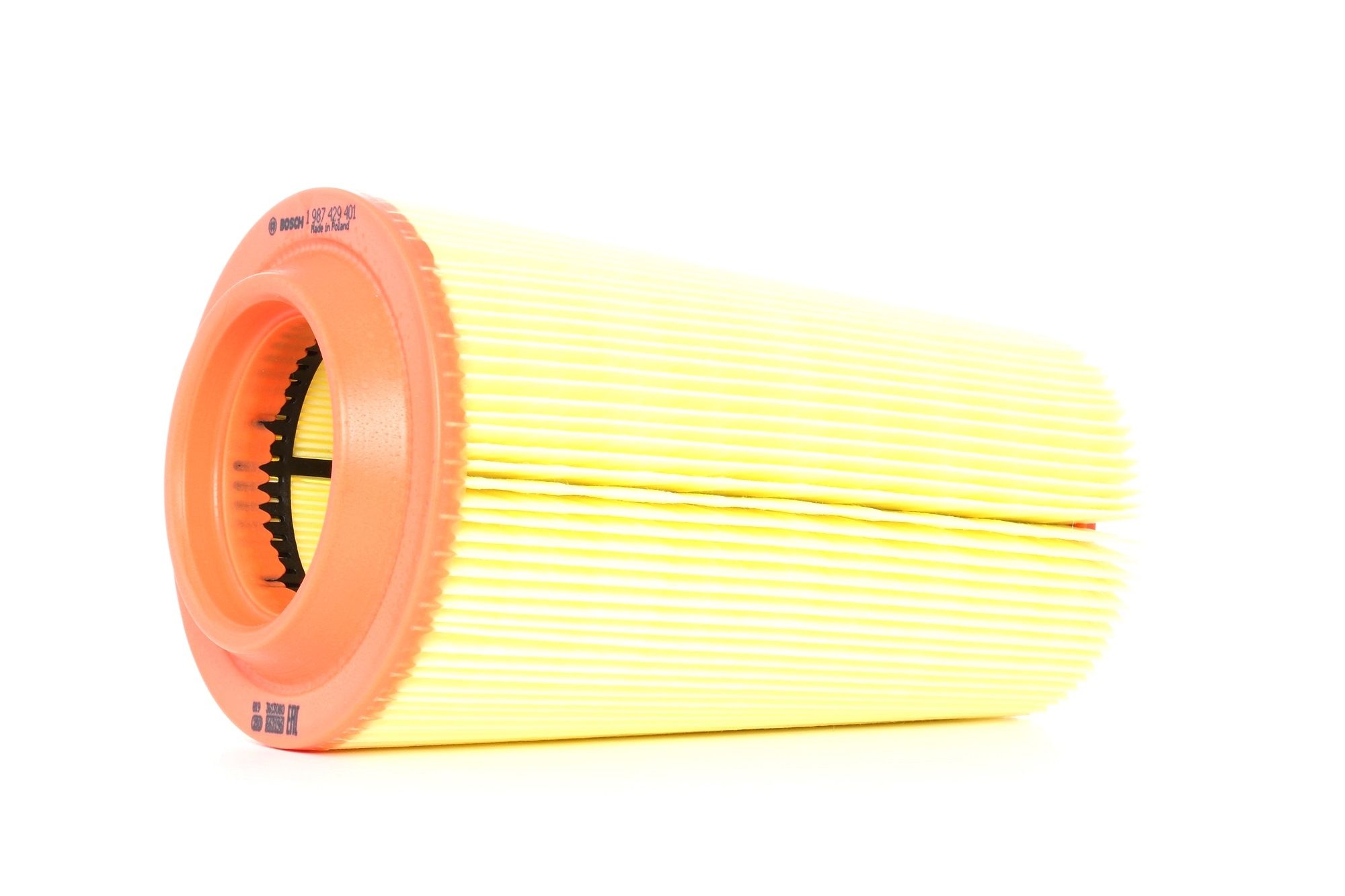
BOSCH Air filter MERCEDES-BENZ 1 987 429 401 2710940204,A2710940204 Engine air filter,Engine filter
£15.55
From AUTODOC
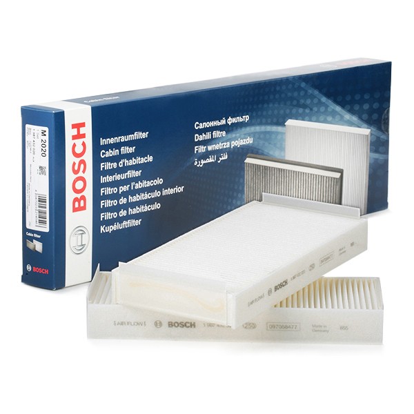
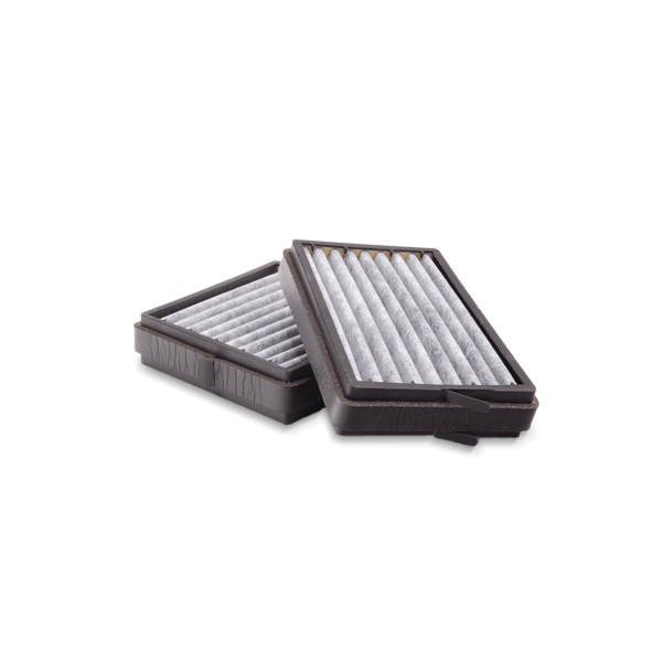
BOSCH Pollen filter MERCEDES-BENZ 1 987 432 020 2108301018,2108300018,2108301018 A2108300018,A2108301018
£11.41
From AUTODOC
BOSCH Pollen filter VW 1 987 432 056 703819989,703819990A,7D0819989
£10.91
From AUTODOC

BOSCH Pollen filter FORD,JAGUAR 1 987 432 073 1115568,1119613,1S7H16N619 1S7J19 ...
£9.70
From AUTODOC

